
Spatial operations for industrial teams
Saalongo
Where the physical world
meet it’s digital twin.
Saalongo – Father of Twins.
Rooted in the Luganda language, Saalongo is the traditional name given to the
father of twins.
For us, that meaning represents something remarkably fitting: the creation of a
digital twin from its real-world counterpart.
At Saalongo, every physical asset has the potential to have a digital twin.
A substation, industrial plant, building, piece of infrastructure, or entire facility
exists in the physical world.
Through advanced digital technology, we create its digital counterpart – an
intelligent, accurate representation that brings the physical asset into a
connected digital environment.
The two exist side by side: Physical and Digital
One can be seen and touched. The other can be explored, analyzed, monitored
and understood in ways the physical environment alone can not offer.
This is where the name Saalongo finds its meaning.
We don’t simply digitize physical assets…
We give them their twin.
One operating record
Raw site data becomes valuable insight people can act on.
Saalongo turns survey-grade site data into clear, actionable insight, making it easier for teams to capture, understand, and use scientific site data with confidence.
01
Bring the site in
Upload surveys, 360 captures, models, drawings, and field evidence to the project workspace.
02
Review in context
Move from the full site to the exact asset, condition, measurement, or captured position.
03
Connect the work
Keep observations, documents, classifications, and operational readings linked to their location.
04
Close with evidence
Give engineering and client teams the same current record for decisions, actions, and handover.
Advanced site intelligence, without the old barriers
Capture more. Understand sooner. Invest with confidence.
Drone technology, laser scanning, and streamlined data capture are now more efficient, productive, cost-effective, and accessible. What was once reserved for major capital programmes is now practical for smaller teams that need accurate site data without heavy upfront investment.
Capture without heavy overhead
Drone mapping and 3D scanning make accurate site context practical for companies of more sizes.
Turn specialist data into shared clarity
Technical survey outputs become visual, connected insight that project teams can understand quickly.
Move faster with safer evidence
Review conditions, routes, and work areas remotely before committing people, time, and budget on site.
Explore the workspaces
One site. Multiple ways to understand it.
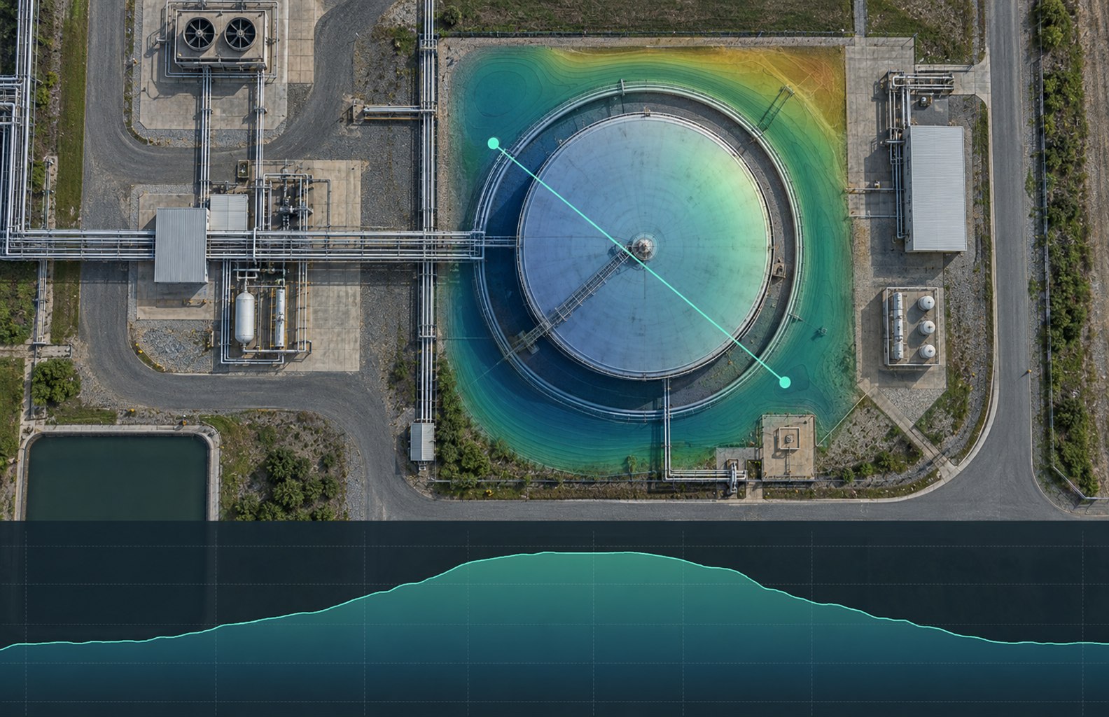
Move between captured reality, mapped plant data, and engineering classification without breaking project context.
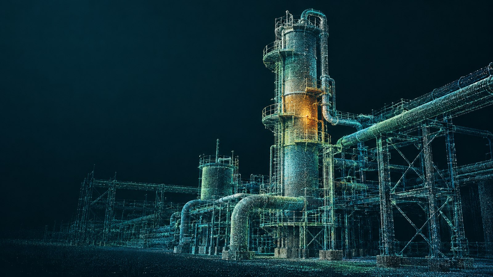
Point cloud review
Inspect dense reality data at full site scale.
Stream spatial scans, move from site scale to asset detail, measure in context, and keep engineering review connected to the project.
Site Journey
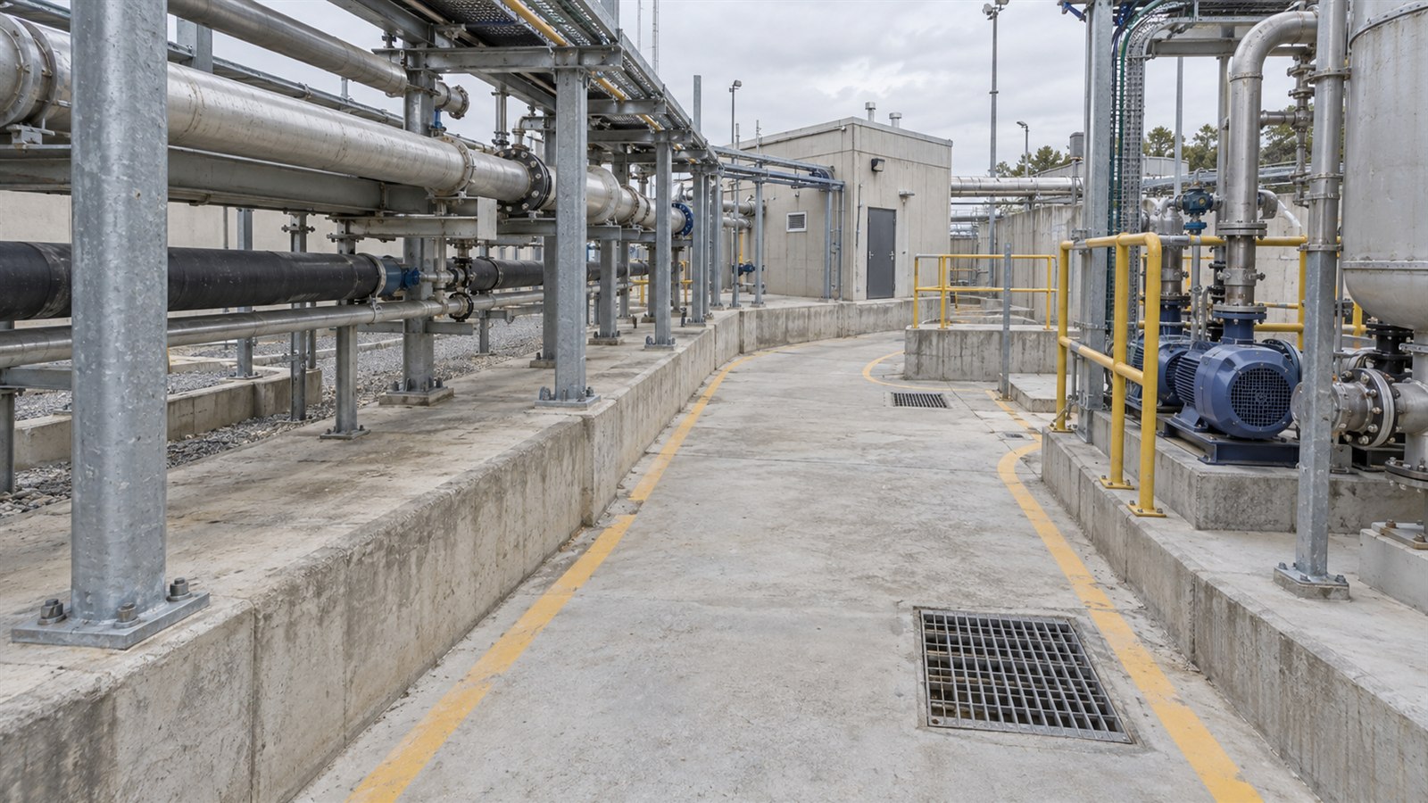
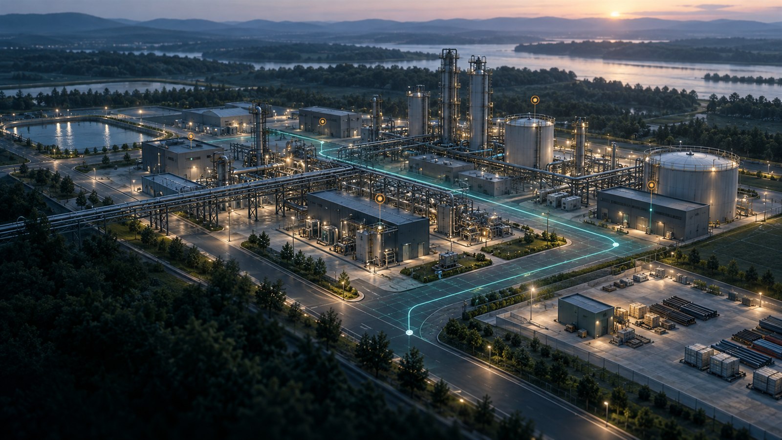
Walk once. Revisit every captured position.
Follow a clear route through linked field captures and return to the same visual position whenever the project team needs it.
Connected operations
Live process context at the asset location.
Bring approved operational readings, documents, and observations into the same spatial context used for engineering review.
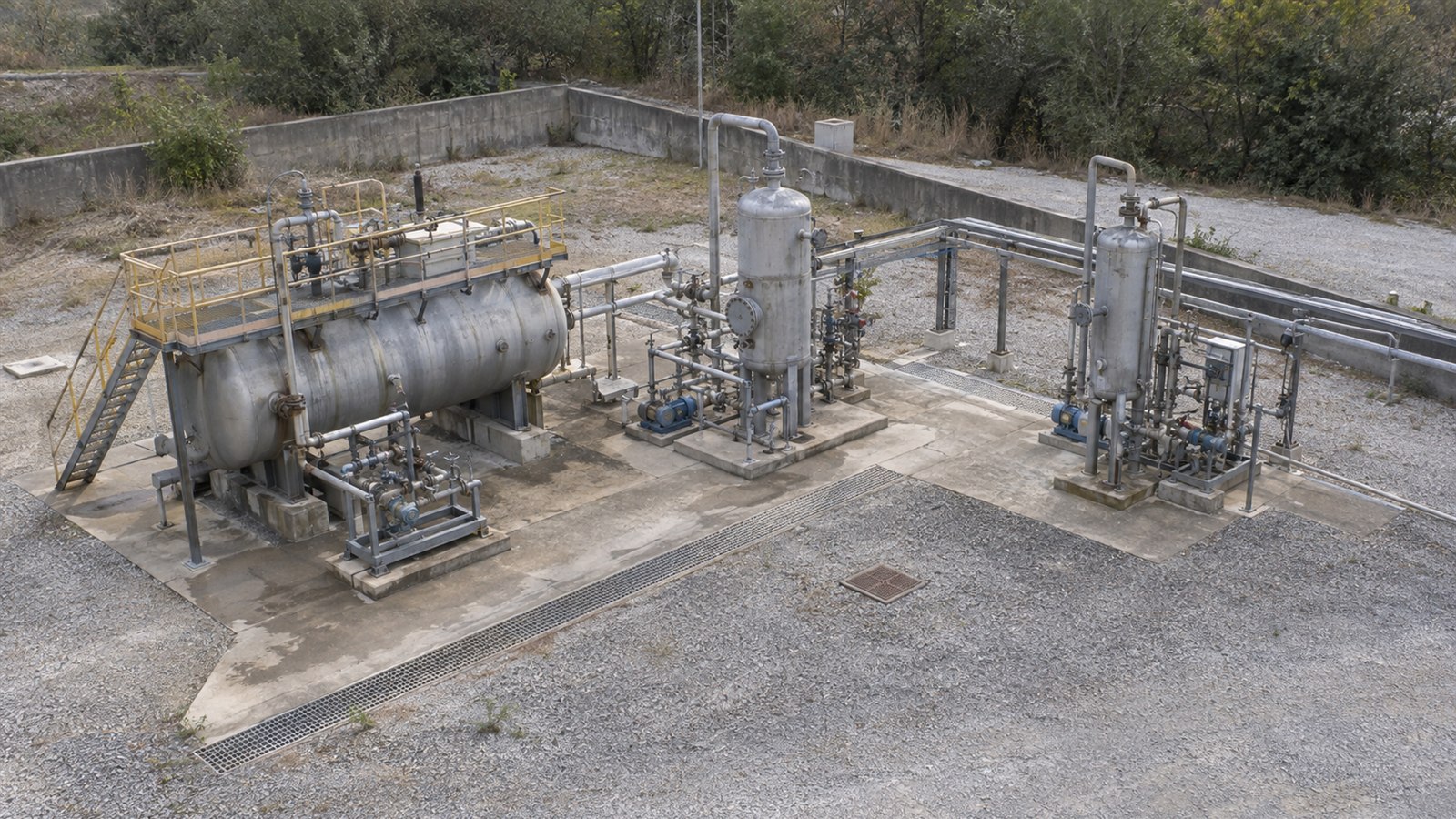
Hazardous-area classification
See classified volumes inside the spatial model.
Review clearly differentiated Zone 0, Zone 1 and Zone 2 volumes around equipment while retaining the surrounding site context.
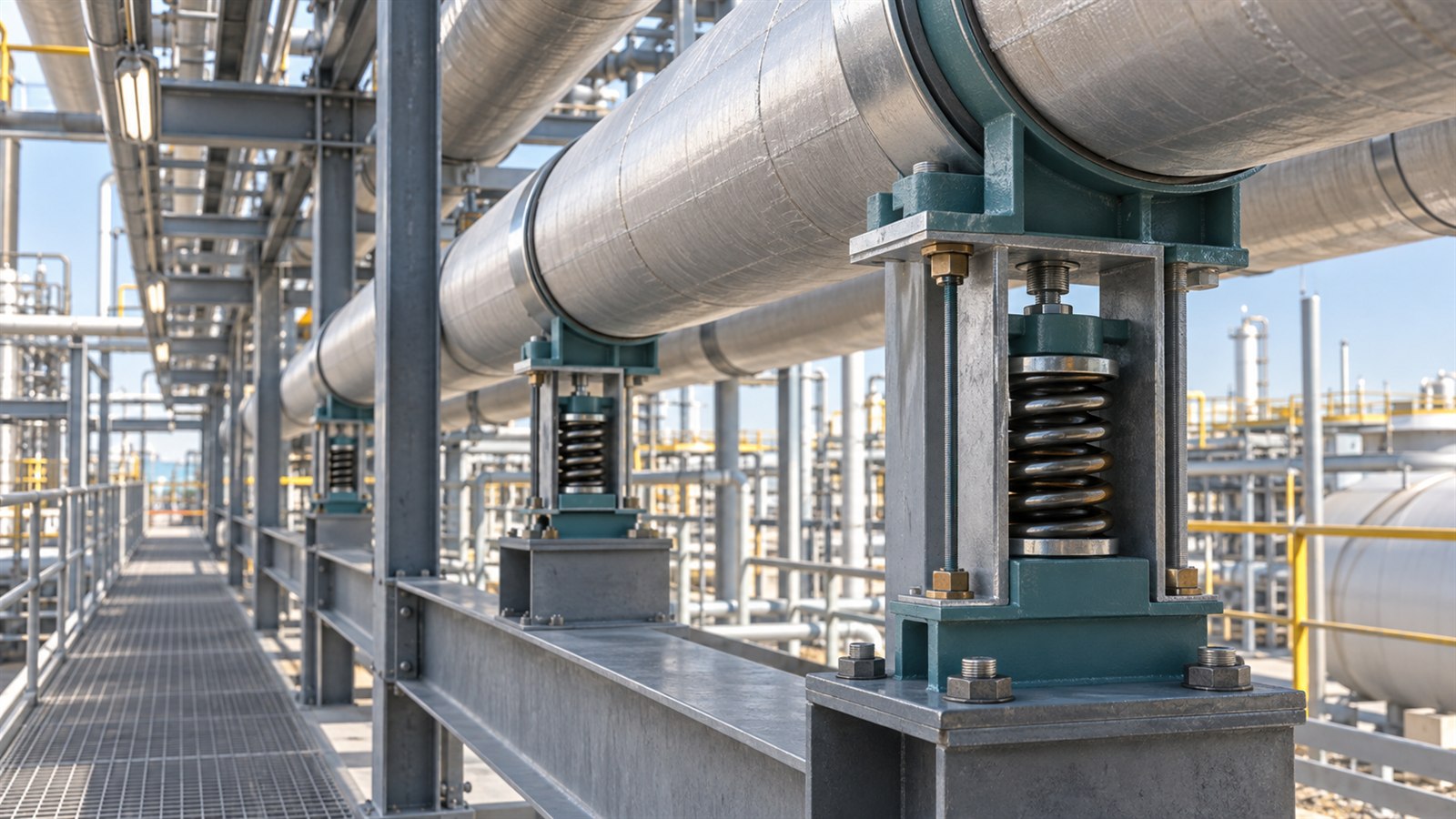
Spring Support Intelligence
Every support. Located, classified, and ready for action.
Build an inspection-ready record from captured evidence, mapped asset context, condition classification, and due actions.
01
Capture
Collect visual evidence without disrupting plant operations.
02
Locate
Place every support and inspection record in its spatial context.
03
Classify
Record condition, actions, ownership, and supporting evidence.
Built around real industrial work
One visual record for high-consequence sites.
Saalongo helps dispersed teams build shared context before, during, and after field work.
Energy
Refineries and process plants
Bring reality capture, classification, inspection evidence, and shutdown planning into one project record.
Mining
Surface and underground operations
Review large sites, survey change, asset context, and safety-critical areas without losing spatial orientation.
Industrial
Brownfield engineering
Give dispersed teams a current, visual source of truth for maintenance, design, and construction decisions.
See it on your site